 By Jen Payne
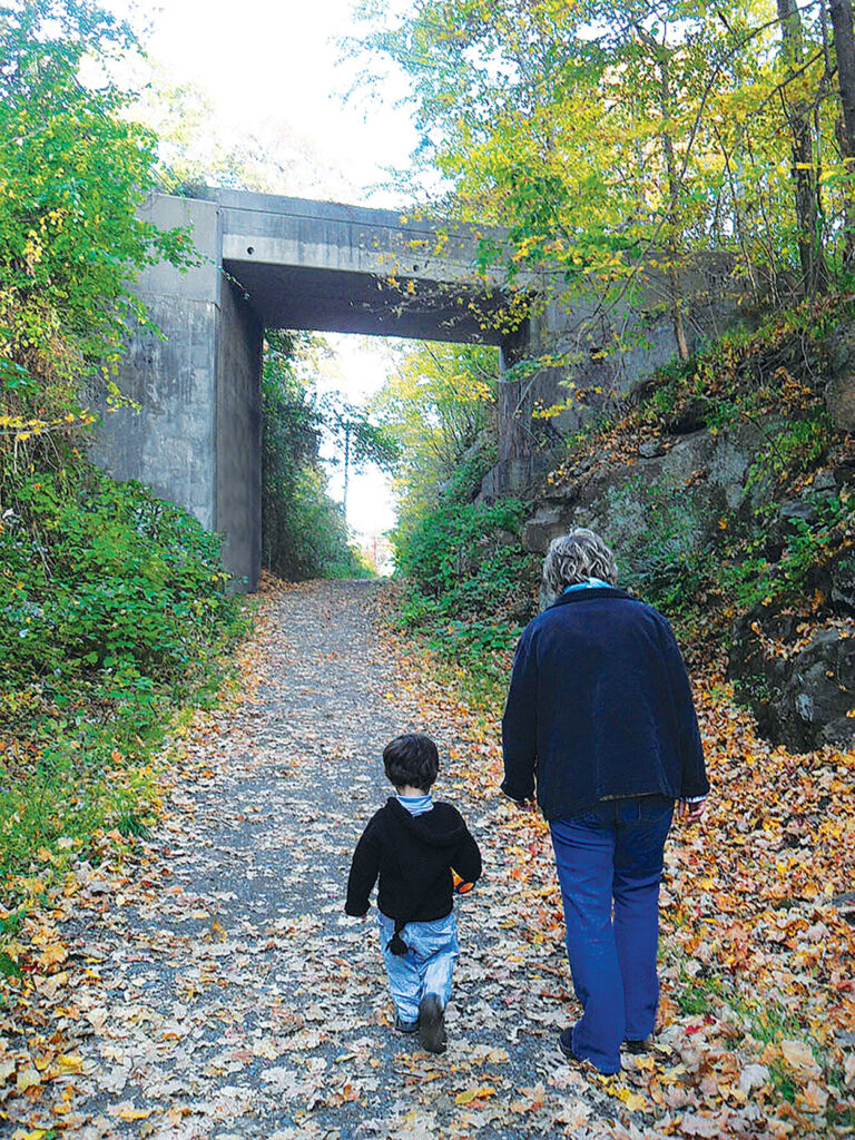
My nephew Max and I have been hiking Branford trails since he was old enough to walk. He’s always been a lively and curious kid, so our first adventures were mostly about staying on the trail and not falling down. As he’s gotten older, he’s learned how to follow trails, how to know what direction to go, and how to read the trail blazes — those “colored dots” on the trees he used to call them. Thankfully, he’s inherited our family’s reliable internal GPS system. “This way,” he calls out then pulls me along.
Unfortunately, not everyone has that natural sense of direction. Sometimes, being in the middle of the woods on a rambling, rough-hewn trail can be a little confusing — especially with the addition of fallen leaves or fresh snow.
Thanks to ongoing efforts of our Trails Committee, more and more BLT trails are being blazed according to Appalachian Mountain Club (AMC) standards. Maybe you’ve seen the blazes at Van Wie Woods, Red Hill Woods, and the Supply Pond and Pisgah Brook Preserves.
They are your guides for how to move around in the woods! Do you know how to read them?
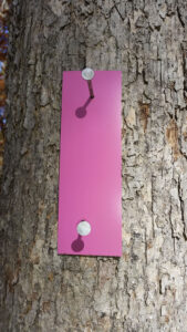
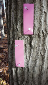
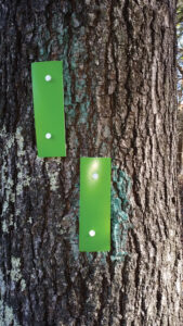
- One vertical blaze identifies your trail.
Two vertical blazes with one off-set above the other, indicates that there is a turn ahead. The higher marker lets you know which direction — left or right.
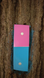
One vertical blaze with two colors, marks a connector trail. The color on top is the trail ahead, the lower half is the trail you came from.
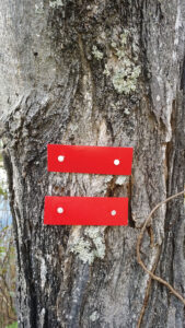
Two horizontal blazes signify the end of the trail.
In Branford, you’ll also see:
- 3” round white markers indicating the Branford Trail, a 28-mile path around the perimeter of town that overlaps BLT trails in several sections.
- Green diamond blazes that mark the Shoreline Greenway Trail in the southern part of town.
Always remember to bring a map (print or virtual) when you walk a new or unfamiliar trail. With that and an understanding of the blazes you see along the way, you’ll enjoy your woods walking adventure all the more! n
Maps for many BLT properties can be found HERE.