by John Watson
 In February, the Town of Branford announced the creation of a $1 million fund to help finance future efforts to prepare for and mitigate the consequences of global climate change, including sea level rise and flooding due to increased storm surges. Branford’s “Shoreline Resiliency Fund,” which was unanimously approved by the RTM, is likely the first such fund in the state, and is one of the first in the nation.
Designed to function similarly to state municipal reserve funds, the resiliency fund will grow over time as it earns interest, as the town makes additional contributions, and as additional funds are obtained. Branford First Selectman Jamie Cosgrove has been quoted as telling the RTM that “this fund is not intended to be the sole funding source. It’s just another way to leverage (other) funds.”
Currently, Connecticut town municipal funds have a 31% limit on the amount that may be invested in equities. Reportedly, State Senator Christine Cohen is working on a bill that would increase the limit to 40% thereby making such funds more attractive by treating them more like IRAs and not simple saving accounts.
The coastal resiliency fund is also anticipated to have a positive impact on the town’s bond rating by investment and rating agencies.
 In 2016, Branford commissioned the Shoreline Resiliency Plan. The planning process was loosely based on the coastal resilience planning process established in 2011-2012 by The Nature Conservancy to address the current and future social, economic, and ecological impacts of the of sea level rise and anticipated increases in the frequency and severity of storm surge, coastal flooding, and erosion. The goal of the plan was to promote and achieve coastal resilience by “decreasing coastal vulnerabilities through increased adaptation and planning.”
While the risk of damage to homes and roads in all of Branford’s coastal neighborhoods is projected to increase, the 2016 Plan identified five neighborhoods that will have high to critical risk of damage due to flooding beginning in 2050 (assuming continuation of current rates of sea level rise and temperature increase) – Killam’s Point, Johnson’s Point, Sybil Creek (location of the town wastewater treatment facility), Pawson/Sunset, and Jarvis Creek.

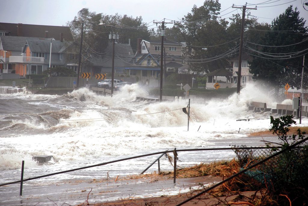
Limewood Avenue, Shore Drive, and Beckett Avenue after Hurricane Irene, August 2011. (Photos by Mike Marsland)