Join the Branford Land Trust for a walk through the autumn leaves at Saltonstall Mountain Preserve on Saturday, October 18, at 10 a.m. The Saltonstall Mountain Preserve is part of a steep traprock ridge that reaches from west to east, straddling the Branford/North Branford border with stunning views of the towns and Long Island Sound.
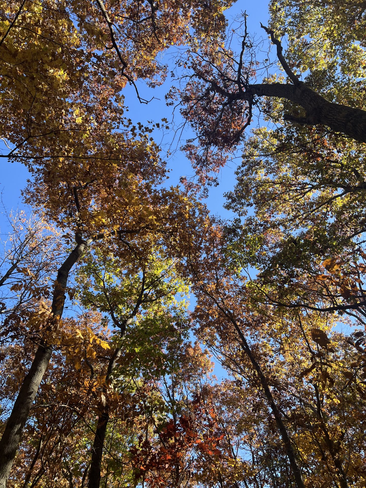
We’ll meet the trailhead off the cul de sac at the top of Lantern View Drive. Choose either the short trail (2 miles, mostly level with two steepish sections) or the longer trail (4 miles, steeper gradients up and down the ridge). Both routes will stop first at the overlook on the ridgeline to see the fall colors over North Branford from one of the highest points in town. Then we’ll continue through the woods enjoying the foliage and the trap rock landscape, noticeably different from the rounded granite outcrops found on many other Branford trails.
The event is free and open to the public. Duration: 2-3 hours. Families are welcome, but no dogs, please. Please wear appropriate clothes and comfortable, supportive walking shoes. Expect terrain with rocky underfooting, and some declines and inclines. Some muddy spots are possible if there has been rain. Bring water. Walking sticks are advised if you’re unsure of your balance on slopes.
Upcoming walks include the Annual Van Wie Walk at Van Wie Woods on November 23, and our First Day Walk on January 1 at the Supply Pond/Queach Preserve.
The Branford Land Trust is a 501(c)(3) non-profit organization, accredited by the Land Trust Alliance, established in 1967 to protect Branford’s open space and natural resources. Run by volunteers and supported by member families and businesses, the Land Trust maintains more than 30 miles of hiking trails, manages and protects over 1,000 acres in more than 130 parcels and holds conservation easements on another 400 acres in Branford. For more information, visit www.branfordlandtrust.org.
ABOUT PISGAH BROOK & SALTONSTALL MOUNTAIN PRESERVES
The Pisgah Brook and Saltonstall Mountain Preserves are both parts of a steep traprock ridge that reaches from west to east, straddling the Branford/North Branford border. To the south of this ridge is an equally steep sandstone slope, and deep between these two hills flows Pisgah Brook. Pisgah Brook flows into Queach Brook, which empties into the Branford River. Water from the north slope of Saltonstall Mountain drains into the Farm River, which feeds the Lake Saltonstall Reservoir; thus the preservation of this area helps maintain water quality in two watersheds and helps protect a public water supply.
When the Pisgah Brook property was offered to the Town in1984 by the South Central Connecticut Regional Water Authority, the Branford Land Trust pushed hard for its acquisition by the Town. Though there were some twists and turns in the road, the project was not a protracted struggle, in part because Town officials realized the extremely steep rocky slopes were unsuitable for development. Since the Town acquisition, the preserve has been enlarged slightly by three adjacent parcels. One was bought by the Town, and the other two donated by the Foote Family Charitable Trust.
In 2004, a large abutting property — now the Saltonstall Preserve — was offered to the Town by its private owners. At the time, the property was the second largest undeveloped in Branford. The Saltonstall Mountain acquisition was truly a team effort, with support from not only the Town but also the South Central Connecticut Regional Water Authority, the Branford Land Trust, the North Branford Land Trust, Friends of the Farm River Estuary, and the Farm River Protective Association.
Immediately to the west of these properties, across Totoket Road, are 9 Miles of trails on the Regional Water Authority land that surrounds Lake Saltonstall. Hikers wishing to explore RWA lands must acquire a permit available at www.rwater.com