
Coastal communities in Connecticut and elsewhere are considering how they can become more resilient to flooding from greenhouse gas-driven increases in sea level and predicted more frequent severe storms. Residents of the area around the Jarvis Creek marsh, between Stony Creek and the Guilford town line, are among those who are already experiencing some of the resulting problems.
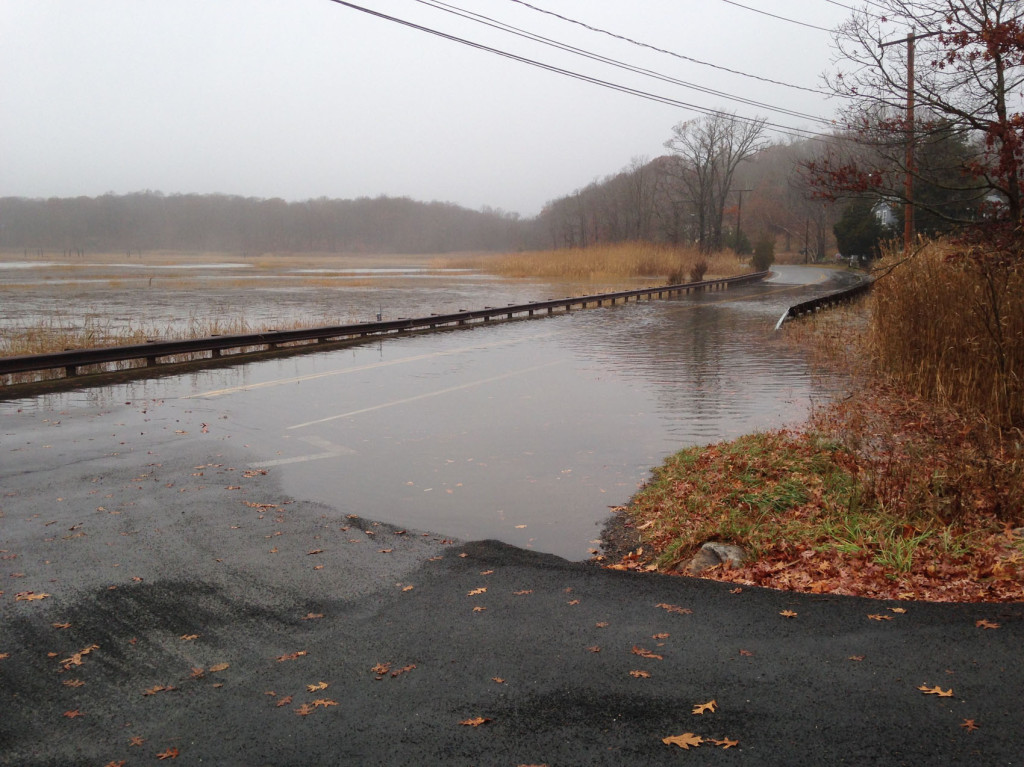
The Jarvis Creek area includes one of Branford’s last farms, an old tide gate, a unique marsh-coastal forest ecosystem, a Branford Land Trust walking trail and a State Scenic Road (Rt. 146/Leetes Island Rd.). During 2011 and 2012, a particularly stormy period, the site experienced a number of flooding events.
Over the past year, various stakeholders have discussed potential solutions for the area. Without an understanding of the hydrology of the system, however, determining the best solutions is difficult. In an effort to begin the process of identifying coastal resiliency solutions for the Jarvis Creek marsh, BLT has partnered with the Town of Branford’s Conservation and Environmental Commission and scientists from the University of Connecticut and the Connecticut Institute for Resilience and Climate Adaptation (CIRCA).

When the formation of CIRCA was announced earlier this year, BLT saw this as an opportunity to conduct a study of this site and began discussions with the Institute and CT DEEP. The project was accepted as one of the Institute’s first projects and a test study for similar coastal resiliency projects statewide.
In October of 2014, members of BLT and the Institute discussed a study design and scouted sites for deploying instruments to measure water levels and velocity. The instruments were placed at the site in late October. The final sampling design (see map) allows for the computation of the net flows of water at the tide gate (F1, F2) and railroad bridge (F3, F4) and the relationship between these flows and water levels downstream of the tide gate near the mouth of Jarvis Creek (LL1), between the tide gate and the railroad bridge (LL2), and just downstream of Rt. 146 (LL3). In addition, instruments were placed in the irrigation pond of Medlyn farm (LTC) and next to Rt. 146 to obtain data on the impacts of storms on these community assets.

If all goes well, the data collection phase of the project will be done in early January. The next phase will include high-resolution GPS measurements of elevation. The final phase will include using the data from these measurements to design resiliency solutions at the site.


CIRCA-UConn scientists Kay Howard-Strobel and David Cohen deploy an instrument platform upstream of the tide gate
